
Routes in East Ayrshire
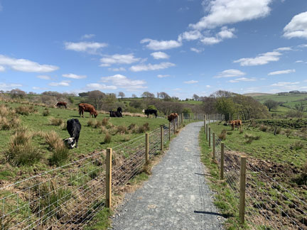
East Ayrshire has a variety of path networks suitable for a range of user groups which take in some of Ayrshire’s finest and varied countryside - from river valleys with their wooded gorges to the glacially carved valleys of the Southern Uplands.
These path networks include
The River Ayr Way, Scotland’s first source to sea path network and one of Scotland’s Great Trails.
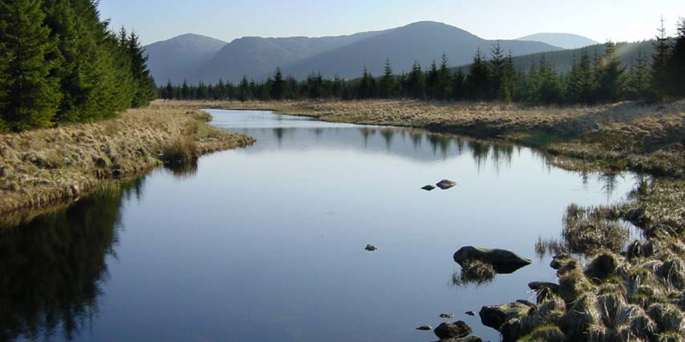
Loch Doon and the Doon Valley Area which incorporates Loch Doon, the largest inland loch in Southern Scotland, the beautiful Craigengillan Estate, the spectacular Dalcairnie Falls and much more.
The Irvine Valley Trail which links the towns of Darvel, Newmilns, Galston and Hurlford with a myriad of footpaths through tranquil open countryside, high moorland, dappled riverside and shaded woodland, rich and diverse in wildlife. Work on the Darvel to Loudoun Hill route has been progressing well since the start of the year and the contractor has now completed path works, drainage and new fencing on the majority of this route.
The Lugar Water Trail which skirts Knockroon Wood and follows the Lugar Water to Ochiltree also taking in the beautiful Dumfries Estate.
East Ayrshire not only offers recreational activities for walkers, cyclists and horse riders, but also for those with an interest in water access. Popular canoeing spots in the area include Loch Doon, the River Doon, the River Ayr and Ness Glen which has been given a grade 3 (3+) rating although during sustained wet weather the rapids are much faster and the grade is raised to a 4. Visit Paddle Scotland for information on getting started and local clubs.
The Land Reform Scotland Act (2003) was implemented in February 2005, giving us several powers and duties to maintain responsible use of the outdoors, both land and inland water. These included the duty to produce a Core Path Plan which meets the needs of the community, providing a number of routes which give reasonable access throughout the area. East Ayrshire’s Core Path Plan was adopted on 5 November 2008 and reviewed in 2021 with feedback incorporated into the 2025 plan which you can now view here and submit your feedback using the survey link.
You can view descriptions and maps of our Core Paths using the link below. More local routes will be added in the coming weeks